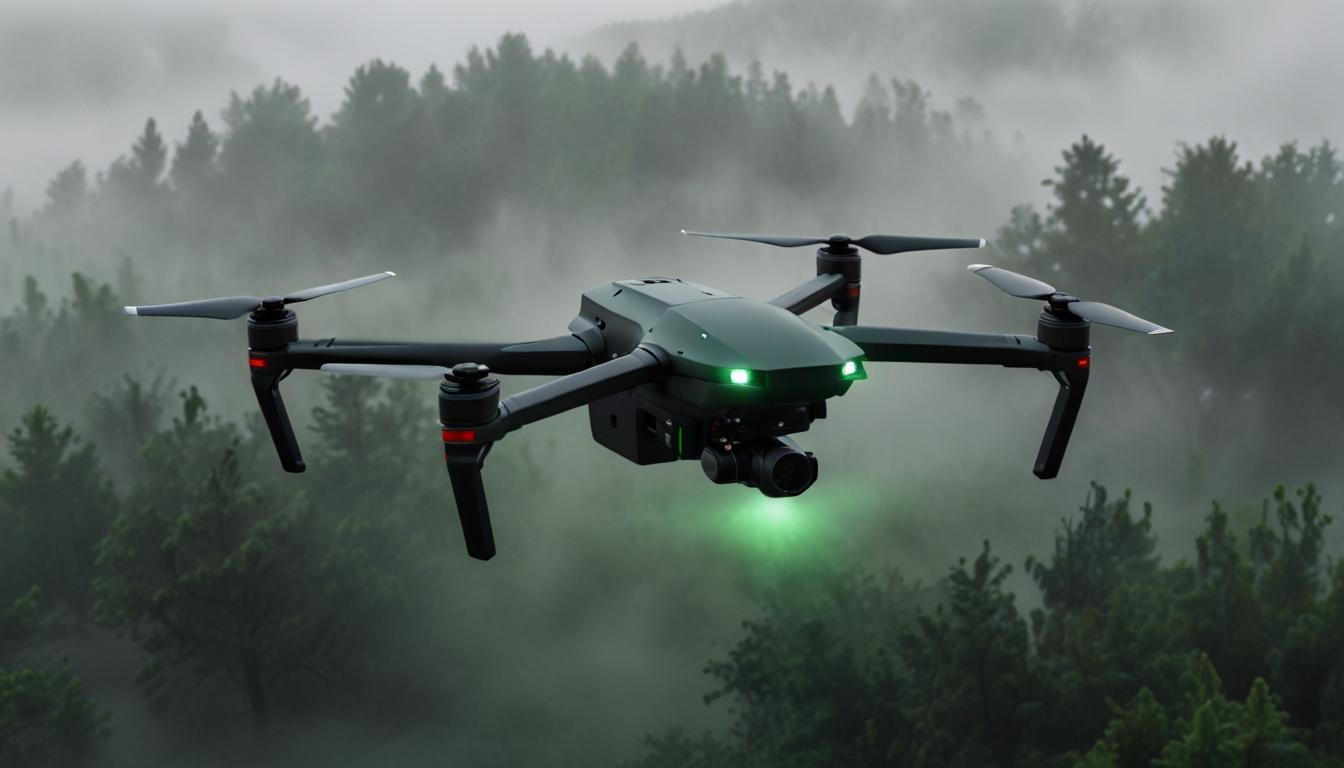
Engineers have developed an advanced navigation system for drones, enabling them to operate effectively in challenging conditions without relying on traditional navigation methods.
Utilizing artificial intelligence and specialized algorithms, the new system can analyze and interpret the environment, creating a three-dimensional map in real-time. This allows drones to maintain reliable flight paths even in situations of limited visibility or complete darkness.
The technology integrates various sensors with AI algorithms, eliminating the dependency on GPS or other external signals. This makes it particularly useful in areas where navigation satellites are inaccessible, ensuring drones can navigate around obstacles and determine optimal routes independently.
This system’s ability to function in poor visibility conditions, such as thick smoke, fog, or underwater, expands its potential applications. It is poised to enhance rescue operations, exploration of inaccessible areas, and the monitoring of environmental disasters. Additionally, it provides a safer alternative to human involvement in dangerous situations.
The new navigation system has successfully passed testing and is ready for commercial deployment. Developers plan to continue refining the technology, aiming to improve the range and accuracy of object recognition further.


