A team comprising scientists, engineers, and pilots has embarked on a NASA mission to aid the calibration of a $1.5 billion satellite, NISAR, co-developed with the Indian Space Research Organisation.
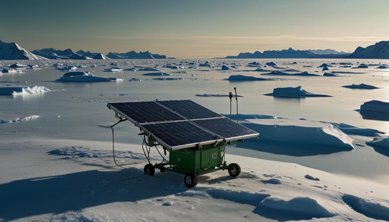
After taking off from Greenland’s west coast, the team descended 80 miles into the island’s interior to drill and install solar-powered GPS receivers crucial for monitoring ice sheets.
The mission leader, glaciologist Ian Joughin from the University of Washington, emphasized the importance of NISAR.
NISAR will study changes to ice sheets, glaciers, and sea ice in fine detail, as climate change warms the air and ocean.
Set to launch from the Bay of Bengal, the satellite will continuously monitor Earth’s glaciers, offering detailed images every 12 days regardless of weather conditions.
“NISAR will give us a consistent time-lapse movie of that motion, so we can understand how and why it’s changing and better predict how it will change into the future,”commented Ian Joughin.
The backdrop of this mission underscores the urgency of understanding ice sheet dynamics. Greenland’s and Antarctica’s ice sheets, particularly the threatened Thwaites Glacier in West Antarctica, are contributing significantly to rising sea levels.
The scientific community remains divided on intervention strategies. Slawek Tulaczyk of UC Santa Cruz proposed “ice preservation” via subglacial pumping to stabilize glaciers. Contrarily, other experts question the feasibility of geo-engineering on such a massive scale.
The mission continues to represent a critical effort to track and potentially mitigate changes within Earth’s cryosphere as global temperatures rise.


